Analyzing Landslide-Bridge Interactions Through InSAR and Numerical Modeling
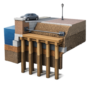
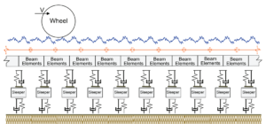
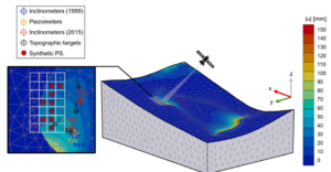
This study integrates InSAR satellite monitoring with three-dimensional numerical modeling to examine the effects of a landslide on a bridge, addressing the one-dimensional limitations of InSAR through modeling-derived displacement directions and validating simulations with observed surface deformations for improved understanding of infrastructure vulnerabilities in geologically unstable regions. Understanding the Challenge: Landslides and Infrastructure Risks Landslides […]
Analyzing Landslide-Bridge Interactions Through InSAR and Numerical Modeling Read More »