Advancing 3D Land Administration with Point Clouds
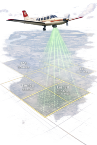
Discover how researchers are transforming urban land administration by integrating cadastral floor plans with nationwide airborne LiDAR to create detailed 3D point clouds, offering a cost-effective alternative to BIM for visualizing legal property boundaries in complex vertical structures—paving the way for scalable digital twins. The Challenge of Vertical Urbanization in Land Administration Urban areas are […]
Advancing 3D Land Administration with Point Clouds Read More »