The Comprehensive Global Building Dataset: GlobalBuildingAtlas
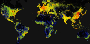
GlobalBuildingAtlas introduces an open dataset with global coverage of 2.75 billion building polygons, 3 m resolution height maps, and LoD1 3D models, derived from satellite imagery, offering enhanced detail for urban analysis, planning, and monitoring progress toward the UN’s Sustainable Development Goals. The Need for Detailed Global Building Information Buildings serve as the foundation of […]
The Comprehensive Global Building Dataset: GlobalBuildingAtlas Read More »